Chester Traffic Impact Study/Improvement Plan
Consultation has concluded
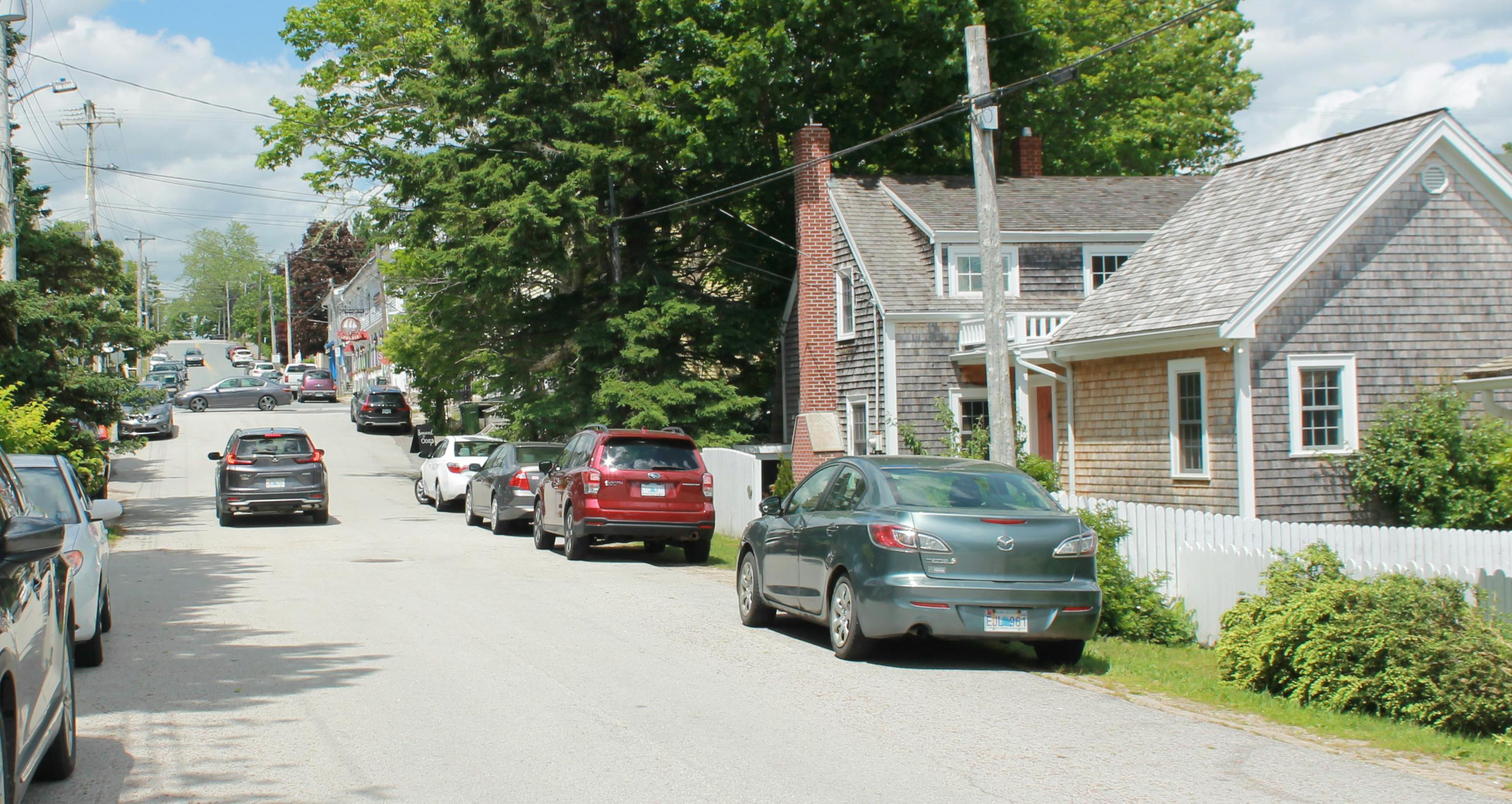
The Municipality of Chester is working with CBCL and FBM on a Traffic Impact Study and Improvement Plan and we are looking for feedback on your experience within the Village of Chester. The primary objective of the project is to provide technical analysis and recommendations on ways to improve traffic flows. Traffic is considered to include vehicular movement and parking, as well as bicycle, pedestrian, and mobility-aided forms of transport.
Please provide us your feedback via the map and survey, which will be available until August 29, 2021. You can also catch us at an in-person event (see events listings to the right).
There are three maps for your consideration:
1.Traffic, Active Transportation & Safety Conditions
2.Parking Conditions
3.One-Way Street Conversions
Traffic Study and Improvement Plan - Traffic, Active Transportation & Safety Conditions
Welcome to the Chester Traffic Study and Improvement Plan interactive map!
The Municipality of Chester is undertaking a study to investigating potential traffic and parking issues around the Village of Chester, with the aim of improving safety for all road users. To inform the preparation of this study, we want to hear your views on traffic, active transportation, and safety issues and opportunities in the area. Your feedback will help to identify general traffic trends and potential issues relating to the safe use of roads within the Village.
Please share your views on vehicle circulation, active transportation, and road safety conditions by participating in our interactive mapping exercise by selecting a pin, dropping it onto the relevant location(s) on the map, and typing in your comment.
Traffic Study and Improvement Plan - Parking Conditions
Welcome to the Chester Traffic Study and Improvement Plan interactive map!
The Municipality of Chester is undertaking a study to investigating potential traffic and parking issues around the Village of Chester, with the aim of improving safety for all road users. To inform the preparation of this study, we want to hear your views on parking conditions in the Village.
Please share your views on parking conditions by selecting a pin and dropping it onto the relevant location(s) on the map, and typing in your comment. Identify any areas that you feel have adequate parking, areas that need improvement (either year-round or seasonally), and include any supporting comments or additional feedback you may have.
The red lines on the map indicate general areas within the parking study boundary utilized for parking and include both designated parking spaces and paved and unpaved shoulders.
Traffic Study and Improvement Plan - One-Way Street Conversions
The Municipality of Chester is undertaking a study to investigating potential traffic and parking issues around the Village of Chester, with the aim of improving safety for all road users. To inform the preparation of this study, we want to hear your views on proposed conversion of the following streets into one-way movement.
- Pig Loop Road
- Duke Street (from Valley Road to Pleasant Street)
- Water Street (from Valley Road to Duke Street/Water Lane)
- Pleasant Street (from Duke Street to King Street)
Please share your views on the proposed one-way street conversions by participating in our interactive mapping exercise by selecting a pin, dropping it onto the relevant location(s) on the map, and typing in your comment.
